To provide you with the best experience, cookies are used on this site. Learn more

To provide you with the best experience, cookies are used on this site. Learn more


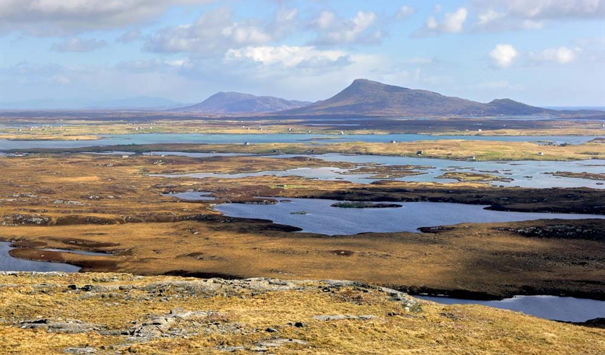
Climbing to the top of this modest hill at 124 metres gives a fantastic 360 degree view of water, islands, beaches, and mountains. On a clear day St Kilda to west can be seen and Skye to the east.
Look for the sign 'Rueval Footpath' by the Council building just east of the crossroads on the A835.
The path starts as a stone track, soon passing over a cattle grid with a nice view of Ruabhal straight ahead. On reaching Loch Ba Una look for a faint track on the left marked by a tiny cairn which leads up the heathery moorland to the top.
Photographers Tip
Spectacular photographs are possible anytime of day looking north towards the mountains of North Uist across a maze of lochans, causeways and villages
Come and visit the only Maritime Museum in the Outer Hebrides and find out about the…
MacGillivrays is a 3rd, entering the 4th, generation family business based in Balivanich…
Just a stones throw from the airport, this magnifient beach is well worth a visit and is…
The Island of Grimsay is made up of tidal sands, sea lochs, small islands and islets, and…
Remains of a wheelhouse dating back to the iron age can be seen in Grimsay.
Cladh Mhuire, the burial ground for the Benbecula community, is the only site associated…
Borve Castle stood three storeys high. Now in ruins you can still see the five foot deep…
Liniclate beach is a stunning white sandy beach and can be accessed from the village of…
Culla bay beach is a stunning white sandy beach and can be accessed from Nunton or Aird.
This Benbecula and South Uist self guided audio tour will take you to Culla Bay in…
250 metres from the main road (which itself dissects the remains of a stone circle at NF…
Ruins of a Medival early church, Teampull Na Trionaid, can be found in the village of…