About
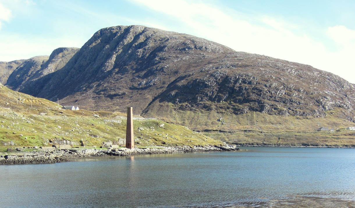
The area bound by Gleann Lacasdail on the east, Loch a Siar to the west and the main A859 to the north contains two short strings of hills that can be linked by crossing Bealach Garbh to produce a horseshoe walk along pleasant ridges with fine views throughout. The ascent to the summit of Gillaval Dubh from the bridge at Ceann an Ora involves a steep ascent up grassy slopes and through a band of rock, but is well worth the effort as most of the walk is over easy ground and the views all around are stunning - including St Kilda on a clear day.[This walk is described in detail and illustrated with Ordnance Survey map extracts in 'Walking on Harris and Lewis' by Richard Barrett, published by Cicerone Press 2010. Unless otherwise indicated, all images used here are copyright of the author.]
Map & Directions
- Park near the bridge and walk along the road towards Aird Asaig until the gradient of the hillside eases.
- Leave the road and slowly climb to the summit of Gillaval Dubh. Once you get to the 350m contour, the gradient eases.
- Head southeast along the ridge, passing over Cnoc Eadar Dà Bheinn to reach the summit of Giolabhal Glas (NB149023) which is a 100 metres north of the walled trig point. On a clear day, the views out to sea on both the east and west sides of Harris make all the energy expended in the climb worthwhile.
- The ridge is broad and dry giving easy walking and after passing a couple of small lochans, you soon get to the foot of Beinn na Tearga (NB163028). Either scramble up through the easy rock bands directly to the summit or make use of the easier grassy slope to the south. As you leave the summit, the whaleback hill of Tòdun faces you with the Shiant Isles out at sea
- As you approach Bealach Garbh (NB165031), avoid the easier ground on the left as it tends to force you down into Glen Skeaudale and you will only have to regain the lost height. If you look west over the northern tip of Taransay, on a clear day you may get a view of St Kilda. From this direction it looks more of a long whaleback of an island rather than the dramatic pinnacle typically seen in photographs, but it’s the real thing with Boreray just to the north.
- The ascent of Sgaoth Aird, “High Wing”, (NB166039) is gentle. The walled cairn at its summit is lined with moss and resembles a bird nest, providing shelter and warm in poor weather. If it’s a fine day though, you will be drawn to the edge of the summit plateau where there are good views down into Loch Seaforth, north to the peat land of Lewis and across to the Harris hills, which seem so close you could almost reach across and touch them. The descent to the west is rock strewn but easy going and you soon arrive at the bealach. The summit of An Cliseam is only three kilometres away and this is the ideal spot for a photograph perhaps framing the small lochans that nestle in the bealach as foreground interest.
- Although lower than its neighbour, the narrow profile of Sgaoth Iosal, “Low Wing”, (NB155044) and the steep gills on its northern face make it seem higher and more dramatic than its neighbour.
- From here, descend south west to Sròn a’ Sgaoth (NB148040).
- Keep to the rockier ground near the edge as you descend into Glen Skeaudale as the open slope south of the summit of Sgaoth Iosal is covered in longer heather and the going is far from easy.


