To provide you with the best experience, cookies are used on this site. Learn more

To provide you with the best experience, cookies are used on this site. Learn more

You are here: Home > See and Do > Hebridean Way Walking Route Section K: Scaladale to Balallan
**Please note the diversion on this section.**
Height Climbed: 415m / 1,363ft
Height Descended: 395m / 1,295ft
Terrain: 5.5 miles on good paths and tracks; 5 miles on wet paths or pathless moorland with waymarkers; 2.5 miles on roads.
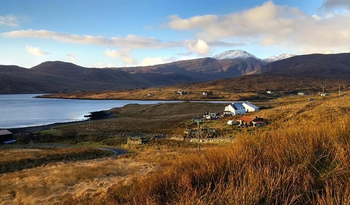
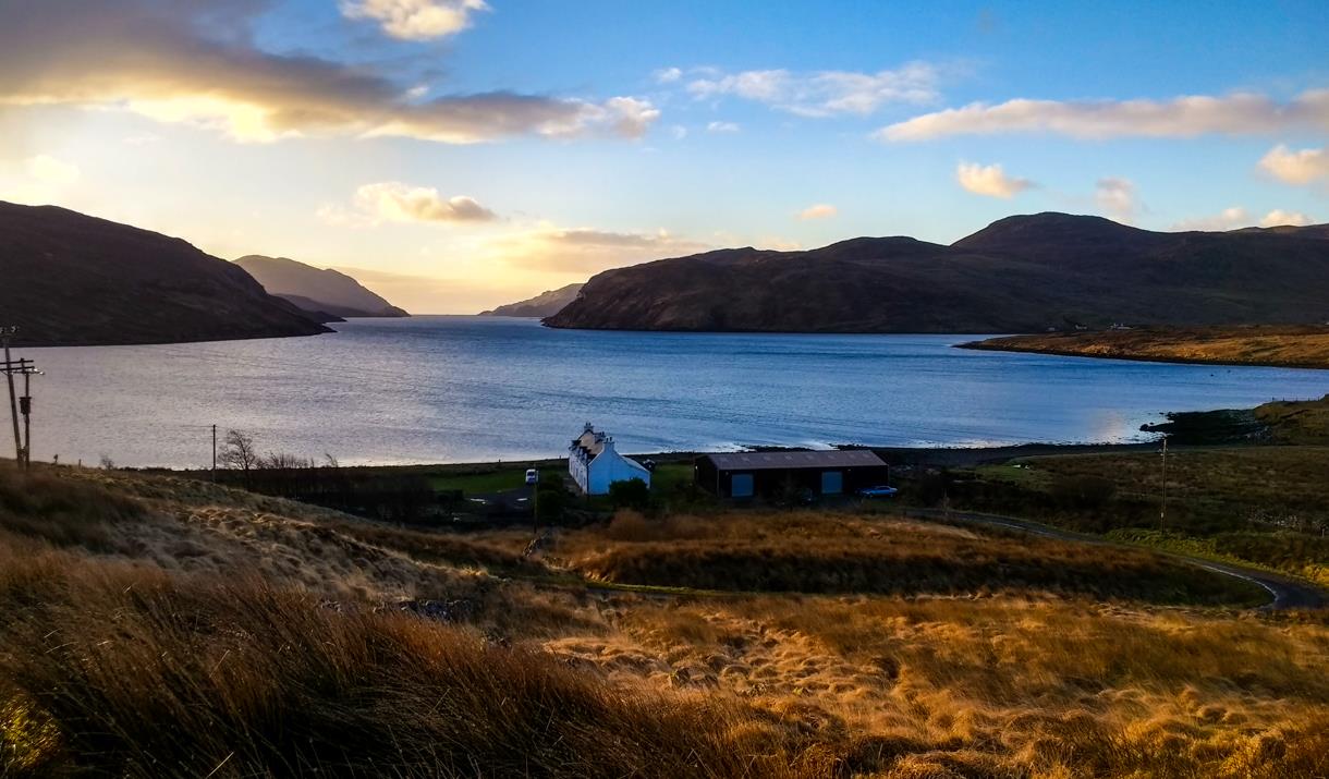
Shortly after setting off from Scaladale you will come to a bridge that carries the main road across a small burn. This innocuous border marks the point where you move into Lewis, the 10th and final island of your epic journey along the length of the Outer Hebrides.
(Incidentally, if you’re wondering why Harris and Lewis are two separate islands when they are physically joined by 8 miles of land, the answer lies in the mountainous landscape you see all around you. Loch Seaforth and the North Harris hills formed a natural...Read More
**Please note the diversion on this section.**
Height Climbed: 415m / 1,363ft
Height Descended: 395m / 1,295ft
Terrain: 5.5 miles on good paths and tracks; 5 miles on wet paths or pathless moorland with waymarkers; 2.5 miles on roads.
Shortly after setting off from Scaladale you will come to a bridge that carries the main road across a small burn. This innocuous border marks the point where you move into Lewis, the 10th and final island of your epic journey along the length of the Outer Hebrides.
(Incidentally, if you’re wondering why Harris and Lewis are two separate islands when they are physically joined by 8 miles of land, the answer lies in the mountainous landscape you see all around you. Loch Seaforth and the North Harris hills formed a natural barrier between the two islands, separating them almost as effectively as if they were surrounded by the sea.)
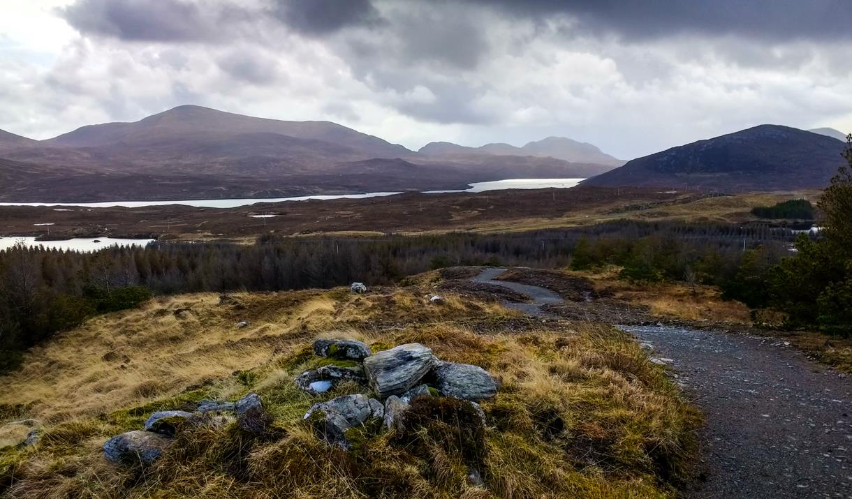
After a few miles it is time to leave the main road and follow a good track through that rarest of things, a Hebridean forest. The Aline woodlands were an experimental forestry plantation established by the Forestry Commission in the 1970s. Nowadays they are managed by the local community for the benefit of walkers and cyclists.
At Aridh a Bhruaich the route heads out onto the moor for a detour along the west side of Loch Stranndabhat, one of Lewis’s most attractive freshwater lochs. The path is wet in places but easy to follow. On reaching Balallan you can either head into the village, where there are B&Bs and a small post office / shop, or follow an optional loop around Loch Cuthaig. The walking here is extremely wet, but the route does offer stunning views over the uninhabited peatlands to the north. PLEASE NOTE THE OPTIONAL LOOP AROUND LOCH CUTHAIG IS CLOSED AT THE MOMENT
The distances and timings above do not include any extra distance you may need to reach your accommodation for the night.
Read LessKinloch Historical Society is located on the main road between Stornoway and Tarbert,…
“We are an oasis of good food, warmth, art and cheeriness”
We are a gallery and…
Built in 1994, the Pairc Land Raiders monument is dedicated to the memory of the people…
The Bonnie Prince Charlie monument is in the village of Arivruach, Lochs to mark where he…
Large semi-aquatic animal. Very sleek profile in water.
This visitor centre, hostel and cafe have good views over the shore of loch Erisort, a…
A path takes you to the shore of Loch Seaforth, a long fjord-like loch and a stronghold…
Island Darkroom is a black and white photographic gallery and studio in the heart of the…
Crafting Harris Tweed gifts, accessories and soft furnishings - pouffes, doorstops, bags,…
Inspired by the traditional Hebridean summer dwellings or ‘airidhs’. The larch-clad house…
Wildlife Tours in the stunning Pairc district of the Isle of Lewis
The mountain hare is about twice the size of a rabbit with much longer hind legs and a…
An oval ring now with 5 standing stones, and the remains of a low cairn inside.
The Weaving Shed; an independent studio shop and tweed weaving shed. Stocking our own…
The peaceful crofting village of Crosbost is reached near the end of the B897 road that…
| Added...: | |
|---|---|
| Hebridean Way Walking Route Section K: Scaladale to Balallan | |

© Outer Hebrides Tourism (Trading) 2025. Registered in Scotland SC501113. All Rights Reserved


